Qinghai Lake, also known by other names, is the largest lake in China. Located in an endorheic basin in Qinghai Province, to which it gave its name, Qinghai Lake is classified as an alkaline salt lake. The lake has fluctuated in size, shrinking over much of the 20th century but increasing since 2004. It had a surface area of 4,317 km2 (1,667 sq mi), an average depth of 21 m (69 ft), and a maximum depth of 25.5 m (84 ft) in 2008.
Names
Qinghai is the pinyin romanisation of the Mandarin pronunciation of the Chinese name 青海. Although modern Chinese distinguishes between the colours blue and green, this distinction did not exist in classical Chinese. The colour 青 (qīng) was a single colour inclusive of both blue and green as separate shades, similar to the way the English colour "red" can be understood to include both pink and vermilion. (English lacks such a color, but linguists have coined the portmanteau word "grue" to discuss its existence in Chinese and other languages.) The name is thus variously translated as "Blue Sea", "Green Sea", "Blue-Green Sea", "Blue/Green Sea", &c. For a time after its wars with the Xiongnu, the Han Dynasty connected the lake with the legendary "Western Sea" assumed to balance the East China Sea, but as the Han Empire expanded further west into the Tarim Basin other lakes assumed the title.
In English, Qinghai Lake was formerly known as Koko Nor, the Chinese Postal Map name romanising the Mongolian name ᠬᠥᠬᠡ ᠨᠠᠭᠤᠷ. The Mongolian colour is unambiguously blue, but classical Mongolian did not distinguish between lakes and larger bodies of water. The Chinese name is thus an overly literal calque of this name, used by the Qinghai Mongols who made up the local ruling class during the standardisation of western Chinese placenames under the Qing Dynasty. Similar use of the Chinese word for "sea" to translate Mongolian lake names can be seen elsewhere around Qinghai, as with Lake Heihai ("Black Sea") in the Kunluns.
The Tibetans also separately calqued the name as མཚོ་སྔོན་པོ་ ("Blue Lake" or "Sea"), romanised as Co Ngoinbo in Tibetan Pinyin and Mtsho-sngon-po in Wylie.
Geography
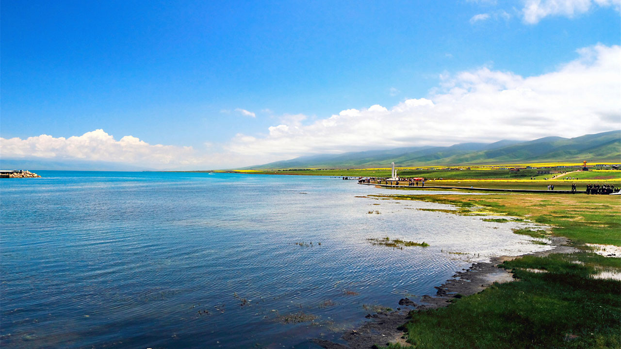
Qinghai Lake lies about 100 kilometres (62 mi) west of Xining in a hollow of the Tibetan Plateau at 3,205 metres (10,515 ft) above sea level. It lies between the Haibei and Hainan Tibetan Autonomous Prefectures in northeastern Qinghai Province in northwestern China. The lake has fluctuated in size, shrinking over much of the 20th century but increasing since 2004. It had a surface area of 4,317 square kilometres (1,667 sq mi), an average depth of 21 metres (69 ft), and a maximum depth of 25.5 m (84 ft) in 2008.
Twenty-three rivers and streams empty into Qinghai Lake, most of them seasonal. Five permanent streams provide 80% of total influx. The relatively low inflow and high evaporation rates have turned Qinghai saline and alkaline; it is presently about 14 ppt salt with a pH of 9.3.
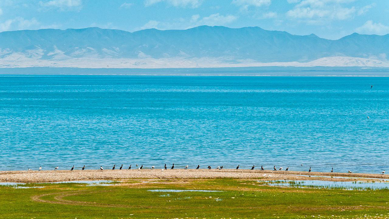
At the tip of the peninsula on the western side of the lake are Cormorant Island and Egg Island, collectively known as the Bird Islands.
Climate
The lake often remains frozen for three months continuously in winter.
| Climate data for Qinghai lake | |||||||||||||
|---|---|---|---|---|---|---|---|---|---|---|---|---|---|
| Month | Jan | Feb | Mar | Apr | May | Jun | Jul | Aug | Sep | Oct | Nov | Dec | Year |
| Average high °C (°F) | −2.7 (27.1) |
−0.2 (31.6) |
5.1 (41.2) |
10.8 (51.4) |
15.5 (59.9) |
18.5 (65.3) |
21.3 (70.3) |
21.0 (69.8) |
16.1 (61.0) |
10.0 (50.0) |
2.8 (37.0) |
−1.3 (29.7) |
9.7 (49.5) |
| Daily mean °C (°F) | −10.0 (14.0) |
−7.1 (19.2) |
−1.6 (29.1) |
4.1 (39.4) |
8.9 (48.0) |
12.2 (54.0) |
14.7 (58.5) |
14.2 (57.6) |
9.2 (48.6) |
2.9 (37.2) |
−4.6 (23.7) |
−8.8 (16.2) |
2.8 (37.0) |
| Average low °C (°F) | −15.4 (4.3) |
−12.4 (9.7) |
−7.0 (19.4) |
−2.0 (28.4) |
2.7 (36.9) |
6.2 (43.2) |
8.9 (48.0) |
8.2 (46.8) |
3.7 (38.7) |
−2.3 (27.9) |
−9.6 (14.7) |
−13.9 (7.0) |
−2.7 (27.1) |
| Average precipitation mm (inches) | 1 (0.0) |
2 (0.1) |
6 (0.2) |
17 (0.7) |
45 (1.8) |
65 (2.6) |
87 (3.4) |
85 (3.3) |
54 (2.1) |
20 (0.8) |
3 (0.1) |
1 (0.0) |
386 (15.1) |
| Source #1: www.yr.no (temperature averages) | |||||||||||||
| Source #2: Climate-Data.com (precipitation) | |||||||||||||
History
Qinghai Lake became isolated from the Yellow River about 150,000 years ago. It has increased in salinity and basicity since the early Holocene.
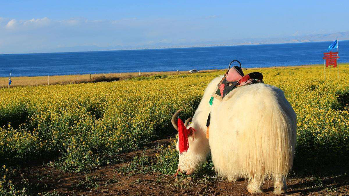
During the Han Dynasty (206 BCE–220 CE), substantial numbers of Han Chinese lived in the Xining valley to the east. In the 17th century, Mongolic-speaking Oirat and Khalkha tribals migrated to Qinghai and became known as Qinghai Mongols. In 1724, the Qinghai Mongols led by Lobzang Danjin revolted against the Qing Dynasty. The Yongzheng Emperor, after putting down the rebellion, stripped away Qinghai's autonomy and imposed direct rule. Although some Tibetans lived around the lake, the Qing maintained an administrative division from the time of Güshi Khan between the Dalai Lama's western realm (slightly smaller than the current Tibet Autonomous Region) and the Tibetan-inhabited areas in the east. Yongzheng also sent Manchu and Han settlers to dilute the Mongols.
During Nationalist rule (1928-1949), the Han formed a majority of Qinghai Province's residents, although Chinese Muslims (Hui) dominated the government. The Kuomintang Hui general Ma Bufang, having invited Kazakh Muslims, joined the governor of Qinghai and other high ranking Qinghai and national government officials in conducting a joint Kokonuur Lake Ceremony to worship the God of the Lake. During the ritual, the Chinese national anthem was sung and all participants bowed to a Portrait of Kuomintang founder Sun Yat-sen as well as to the God of the Lake. Participants, both Han and Muslim, made offerings to the god.
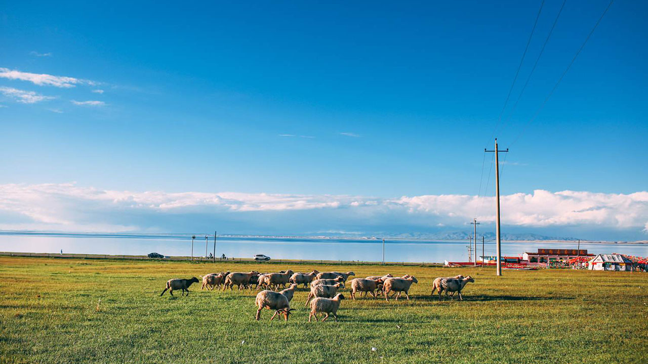
After the 1949 Chinese revolution, refugees from the 1950s Anti-Rightist Movement settled in the area west of Qinghai Lake. After the Chinese economic reform in the 1980s, drawn by new business opportunities, migration to the area increased, causing ecological stresses. Fresh grass production in Gangcha County north of the lake declined from a mean of 2,057 kilograms per hectare (1,835 lb/acre) to 1,271 kg/ha (1,134 lb/acre) in 1987. In 2001, the State Forestry Administration of China launched the "Retire Cropland, Restore Grasslands" (退耕,还草) campaign and started confiscating Tibetan and Mongol pastoralists' guns, allegedly in order to preserve the endangered Przewalski's gazelle.
Prior to the 1960s, 108 freshwater rivers emptied into the lake. As of 2003, 85% of the river mouths have dried up, including the lake's largest tributary, the Buha River. In between 1959 and 1982, there had been an annual water level drop of 10 centimetres (3.9 in), which was reversed at a rate of 10 cm/year (3.9 in/year) between 1983 and 1989, but has continued to drop since. The Chinese Academy of Sciences reported in 1998 the lake was again threatened with loss of surface area due to livestock over-grazing, land reclamations, and natural causes. Surface area decreased 11.7% in the period from 1908 to 2000. During that period, higher lake floor areas were exposed and numerous water bodies separated from the rest of the main lake. In the 1960s, the 48.9-square-kilometre (18.9 sq mi) Gahai Lake (尕海, Gǎhǎi) appeared in the north; Shadao Lake (沙岛, Shādǎo), covering an area of 19.6 km2 (7.6 sq mi) to the northeast, followed in the 1980s, along with Haiyan Lake (海晏, Hǎiyàn) of 112.5 km2 (43.4 sq mi). Another 96.7 km2 (37.3 sq mi) daughter lake split off in 2004. In addition, the lake has now split into half a dozen more small lakes at the border. The water surface has shrunk by 312 km2 (120 sq mi) over the last three decades.
Wildlife
The lake is located at the crossroads of several bird migration routes across Asia. Many species use Qinghai as an intermediate stop during migration. As such, it is a focal point in global concerns regarding avian influenza (H5N1), as a major outbreak here could spread the virus across Europe and Asia, further increasing the chances of a pandemic. Minor outbreaks of H5N1 have already been identified at the lake. The Bird Islands have been sanctuaries of the Qinghai Lake Natural Protection Zone since 1997.
There are five native fish species: The edible naked carp (Gymnocypris przewalskii, 湟鱼; huángyú), which is the most abundant in the lake, and four stoneloaches (Triplophysa stolickai, T. dorsonotata, T. scleroptera and T. siluroides). Other Yellow River fish species occurred in the lake, but they disappeared with the increasing salinity and basicity, beginning in the early Holocene.
Culture
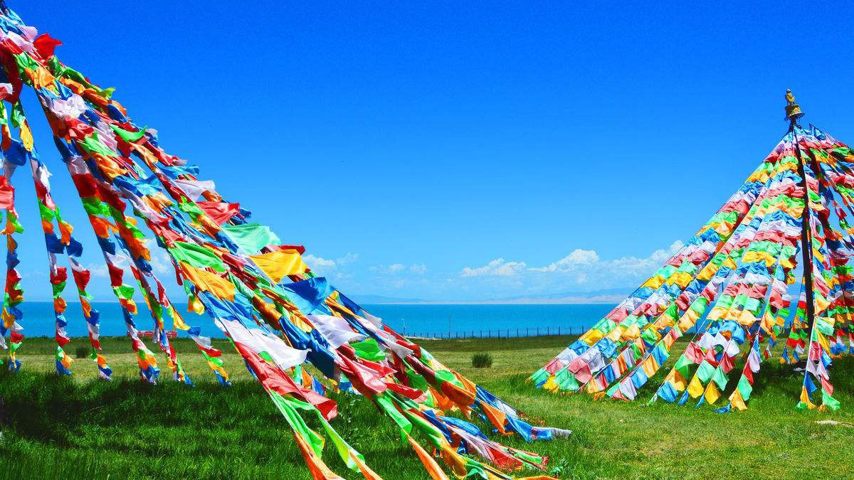
There is an island in the western part of the lake with a temple and a few hermitages called "Mahādeva, the Heart of the Lake" (mTsho snying Ma hā de wa) which historically was home to a Buddhist monastery. No boat was used during summer, so monks and pilgrims travelled to and fro only when the lake froze over in winter. A nomad described the size of the island by saying that: "if in the morning a she-goat starts to browse the grass around it clockwise and its kid anti-clockwise, they will meet only in the night, which shows how big the island is." It is also known as the place where Gushri Khan and other Khoshut Mongols migrated to during the 1620s.
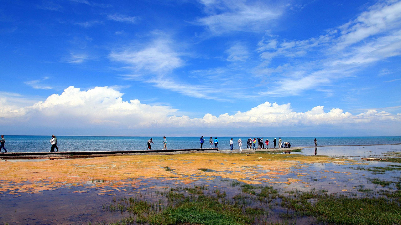
The lake is circumambulated by pilgrims, mainly Tibetan Buddhists, especially every Horse Year of the 12-year cycle. Przhevalsky estimated it would take about 8 days by horse or 15 walking to circumambulate the lake, but pilgrims report it takes about 18 days on horseback, and one took 23 days walking to complete the circuit.


